At 6:00 a.m., five teams had gathered at the Vallot shelter, and all of us were shaking from the cold. I was wearing four layers of clothing, three pairs of socks and several pairs of gloves, yet for the first time in my life, I genuinely could not stop shivering.
Outside, the wind seemed determined to intimidate us at all costs. The forecast had predicted gusts of up to 50 km/h, but either someone had mixed up the numbers or Mont Blanc simply had not read the forecast.
It was not warm inside the metal shelter. The wind simply stopped. Wrapped in blankets, we had to answer one question:
Do we keep going or turn back?
Over the previous few days, almost everything had tried to prevent us from reaching the summit: lost glacier glasses, a late start, snow, winds of up to 90 km/h, altitude sickness and Krystian’s flu. That morning, we still had several hours of climbing ahead of us.
Naturally, we kept going.
But to explain how we ended up inside that metal box at 4,362 metres, I need to go back a few days…
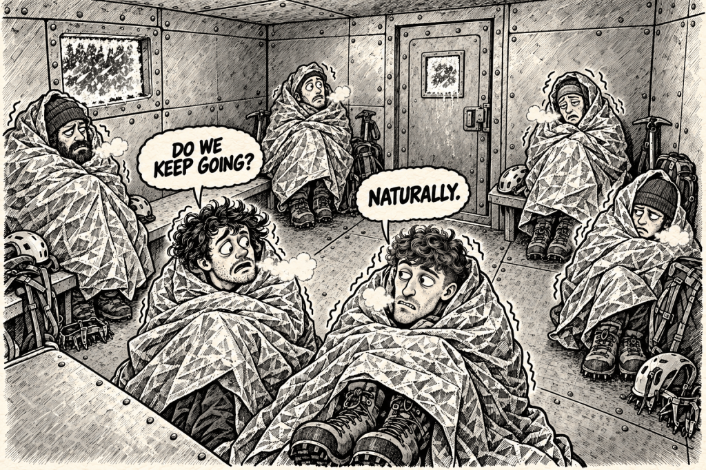
Table of Contents
- 1. Which Route Leads to Mont Blanc?
- 2. Straight from Civilisation into the Mountains
- 3. Tête Rousse Beach – Without the Sea or the Warmth
- 4. The Couloir of Death
- 5. The Missing Glasses and the Plan That Fell Apart
- 6. Monday: The Mountain Says No
- 7. The Summit Push
- 8. The Final Climb. For Real This Time
- 9. The Summit Is Only Halfway
- 10. The Last Train Had Already Left
A few days earlier, we were still in Chamonix, waiting for the closed refuges to reopen and for the weather to finally give us a chance.
On Wednesday, 26 August, the day we had originally planned to leave Chamonix, they finally reopened. We found available beds that matched the next weather window and booked them immediately.
The timing was not entirely unfortunate. While we waited, Chamonix was hosting UTMB, so we spent part of those days watching runners from around the world cross the finish line after completing one of the most famous mountain races on the planet.
Finishing UTMB is one of my own long-term goals.
One ridiculous dream at a time, though. First, we had a mountain to climb.
I had been waiting for this climb for more than a year. The plan looked solid: a quick three-day adventure, get in, reach the summit and get out.
At least, it looked solid until we actually started putting it into action.
Three days later, on Saturday, 29 August 2026, we set off for Mont Blanc.
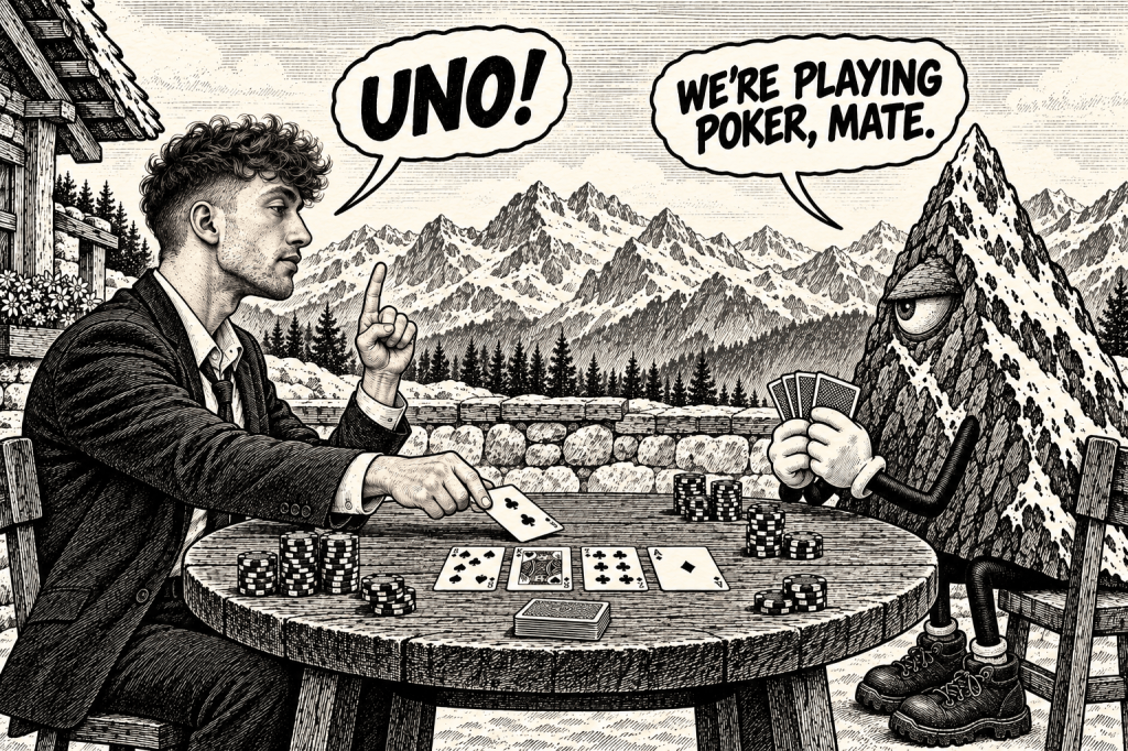
As usual, the mountains had plans of their own. They quickly reminded us who was dealing the cards, and sometimes, all you can do is play the hand you have been dealt.
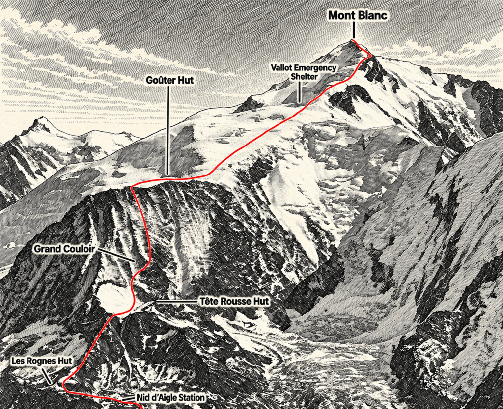
1. Which Route Leads to Mont Blanc?
Several routes lead to the highest summit in the Alps. Each has its own character, level of difficulty and set of hazards.
We chose the most popular option: the French Normal Route via the Tête Rousse and Goûter refuges.
We chose to climb independently, without mountain guides.
One of the main reasons was financial. Depending on the arrangement, hiring a guide can cost around €2,000, which is roughly as much as, or even more than, a complete set of equipment for one person.
That did not mean turning up and hoping for the best. Before the expedition, both of us had completed Level I and Level II winter high-mountain hiking courses in Poland’s Tatra Mountains.
We had also spent approximately one month in the Dolomites, gaining experience on different mountain routes and via ferratas. Before attempting Mont Blanc, we had also gained experience on glaciers and acclimatised by climbing peaks including Marmolada, Allalinhorn and Gran Paradiso, to name a few.
All of this was supported by a full year of consistent physical preparation, including triathlon training, strength training and regular sessions at the climbing wall.
Even then, preparation does not remove the risks. It simply gives you a better chance of recognising them before they become serious problems.
As I mentioned, we had chosen the Normal Route.
The name sounds reassuring.
Then you learn that it crosses a place known as the Couloir of Death, and suddenly the word “normal” becomes a lot less comforting.
2. Straight from Civilisation into the Mountains
Our journey began in Saint-Gervais-les-Bains–Le Fayet (do not even try to pronounce it correctly), where we left the car in a large, free car park and boarded the Tramway du Mont-Blanc.
For the next hour and fifteen minutes, the tram slowly carried us higher into the mountains. Small towns disappeared below us, the peaks grew closer, and civilisation gradually began to feel more distant.
The ride itself was worth the ticket, with beautiful mountain views unfolding outside the windows almost the entire way.
The final stop was Nid d’Aigle, at 2,412 metres above sea level.
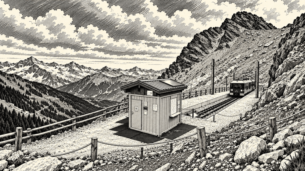
That was where the comfortable part of the journey ended.
From that moment until our return, there would be no more trains, roads or easy shortcuts. Everything ahead of us had to be covered on foot, with heavily loaded backpacks.
INFO — TRAMWAY DU MONT-BLANC
- A return ticket, valid for one week, cost €40 per person.
- The journey took approximately one hour and fifteen minutes.
- The tram is small and usually departs about once an hour.
- Tickets can be purchased at the station, but many departures sell out. If you are following a strict schedule, booking online is the safer option.
- You can also walk to Nid d’Aigle. The hike takes approximately 8–10 hours, covers around 19.5 kilometres and involves almost 2,000 metres of elevation gain.
- Walking is a great option if you want to save €40 on the tram and then spend another €30 on an additional night in a refuge.
- Or perhaps you simply want to experience the entire journey on foot. In that case, you can go even more “by the book” and begin at the church in Chamonix, traditionally associated with the starting and finishing point of Mont Blanc speed records. However, that usually means taking a different route up the mountain.
We stepped off the tram, tightened our backpacks and started walking towards Tête Rousse.
From the starting point, we could already see the Goûter refuge far above us. It looked distant, but at least the mountain was no longer just something on the horizon.
This was where our real adventure began.
3. Tête Rousse Beach – Without the Sea or the Warmth
Although it is possible to stay overnight at Nid d’Aigle, most climbers, including us, continue directly towards Tête Rousse.
With heavily loaded backpacks, we began the three-hour climb towards the refuge. The trail was rocky and reasonably well marked, and the higher we climbed, the farther civilisation seemed to fall behind us.
At one point, our refuge reservations were checked.
Without a valid booking, you may be turned back.
You can arrive motivated, properly equipped and ready to climb Mont Blanc, but without that confirmation, your expedition may end before it has properly begun.
Of course, some people find ways around the checkpoint, usually those attempting the entire climb in a single push or making overnight arrangements that are not exactly legal…
For once, that was not us.
Shortly before reaching Tête Rousse, the trail passed the remains of a glacier that had almost completely melted away. We could either cross what was left of it or follow a path around it.
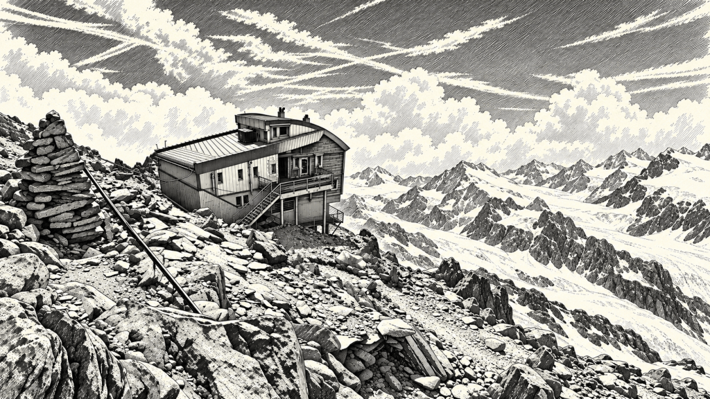
Eventually, at 3,165 metres above sea level, we reached the refuge.
We checked in at reception, received our room allocation and paid the remaining balance. Our first day on the mountain was complete.
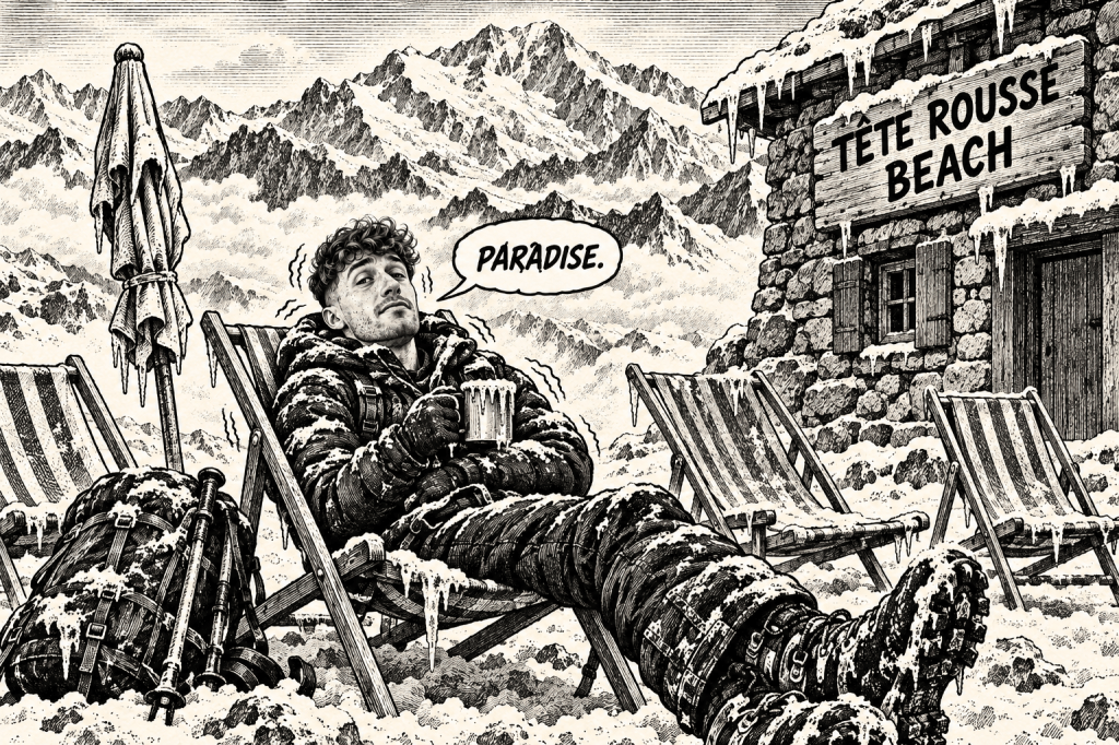
Then we discovered that we had apparently arrived at the beach.
Every room at Tête Rousse has its own name, and photographs of sunny beaches cover the walls. Outside, there is even a Tête Rousse Beach, complete with several deckchairs.
It offers the full beach experience – apart from the sand, the sea and any noticeable warmth.
INFO — STAYING AT TÊTE ROUSSE
- The refuge stands at 3,165 metres above sea level.
- A bed cost €60 per person, while the package including breakfast cost €128. We carried our own food.
- Accommodation at Tête Rousse and Goûter must be booked online in advance. Arriving without a reservation and hoping that “something will work out” may result in bitter disappointment.
- Beds have duvets, so you do not need to carry a sleeping bag.
- A thin sleeping-bag liner is officially required. During our stay, however, nobody except us appeared to have one, and nobody checked.
- There was no running water of any kind.
- One litre of water cost approximately €6. At Goûter, the price increased to €7.
- The toilets were free, and there were plenty of them.
- Hand sanitiser was available, but bringing wet wipes is a good idea if you want to clean your hands properly.
- The main entrance and sleeping rooms remained accessible throughout the night, but reception closed overnight.
Our room contained approximately sixteen beds.
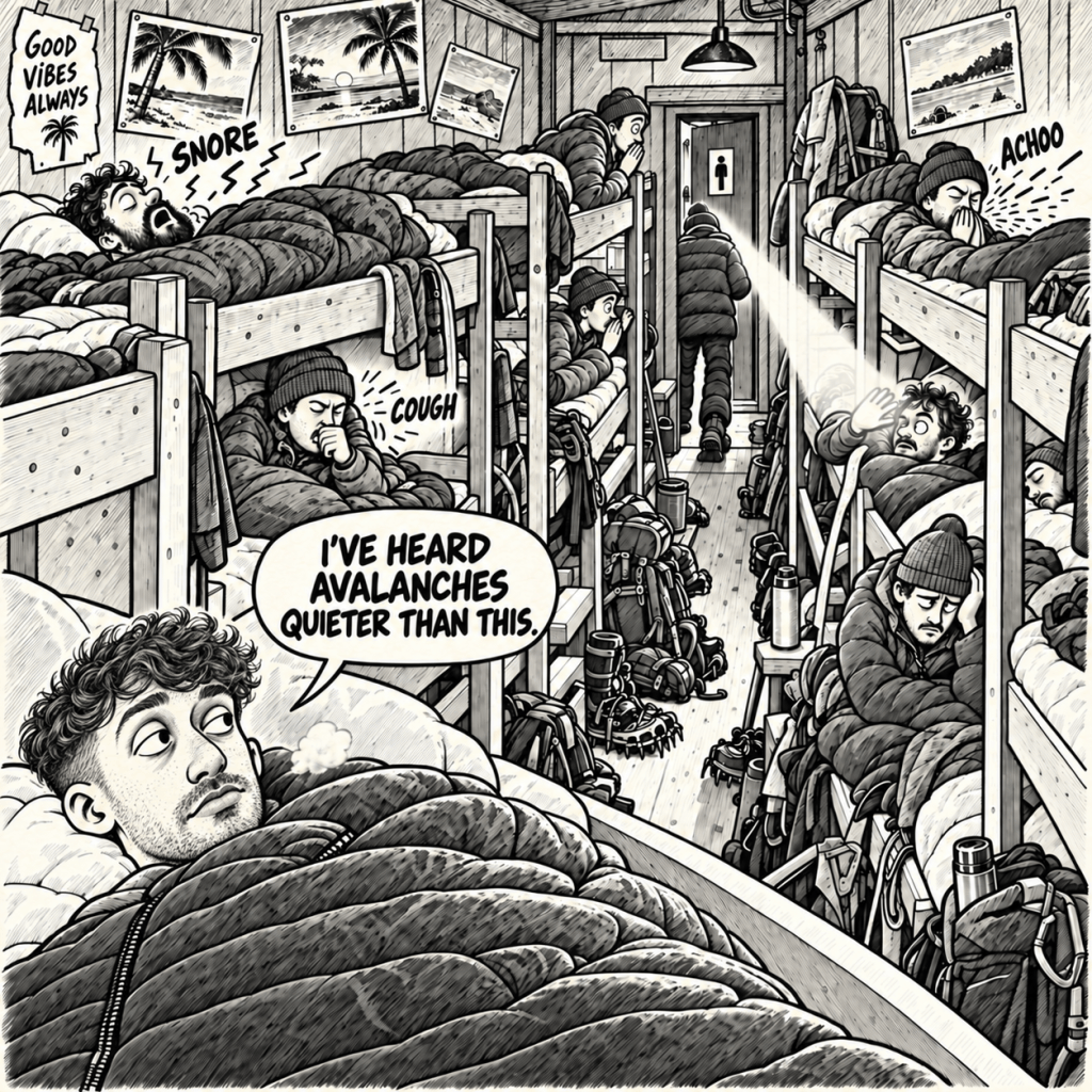
Once everyone had settled in, the nightly concert began. One person snored, another coughed, somebody sneezed, somebody went to the toilet, and somebody else could not sleep because of the altitude. Teams were also preparing to leave at different hours throughout the night.
People generally tried to remain quiet, but this was a high-altitude refuge, not a hotel. Eight uninterrupted hours of perfect sleep were never part of the package.
Fortunately, I can fall asleep almost anywhere. I could probably sleep on a bed of nails, so the noise did not bother me at all.
Not everyone possesses this extremely useful survival skill, though.
INFO — SURVIVING A NIGHT IN A REFUGE
- If you are a light sleeper, bring earplugs or in-ear headphones.
- If you are especially sensitive to light, an eye mask may also help.
- By around 9–10 p.m., most people are asleep or at least trying to remain quiet. A high-altitude refuge is not a party venue.
- Everyone handles cold, stress, fatigue and altitude differently. Help other people and overlook minor inconveniences.
- Princes and princesses may struggle here.
We also met people who were completely unprepared and lacked both the proper equipment and basic knowledge.
Some of the things I describe in this article may seem obvious. Unfortunately, as we discovered during our journey, they are not obvious to everyone. I would rather somebody read this article and know too much than arrive on the mountain knowing too little.
More and more people appear ready to head straight for Everest while still unable to walk in crampons, or sometimes even put them on correctly…
And no, that is not an exaggeration.
One final thing: refuge staff are human too.
They work long hours at high altitude, prepare food, manage accommodation, coordinate medical assistance and helicopter flights, and welcome a fresh group of “mountaineers” every day. Some of them do not appear to have any idea where they have arrived.
After fourteen hours of work at three or almost four thousand metres, they deserve to get some sleep.
Let them
We tried to do the same.
The following morning, we would have to cross the most dangerous section of the entire route.
The Couloir of Death was waiting for us.
4. The Couloir of Death
That morning, we had two possible departure times: 2 a.m. or 6 a.m.
Teams leaving at 2 a.m. generally planned to reach the summit of Mont Blanc and return to Goûter later that same day. Those leaving at 6 a.m. either had no intention of attempting the summit immediately or simply preferred to cross the couloir in daylight, when they could at least see the rocks falling towards them.
The refuge staff and most guides strongly recommended the second option.
We spent a long time debating which risk sounded more appealing: crossing in darkness or watching the danger approach in full daylight.
Eventually, we chose 6 a.m.
We left Tête Rousse and began climbing towards the most dangerous section of the classic French route.
This was the right moment to put on our helmets.
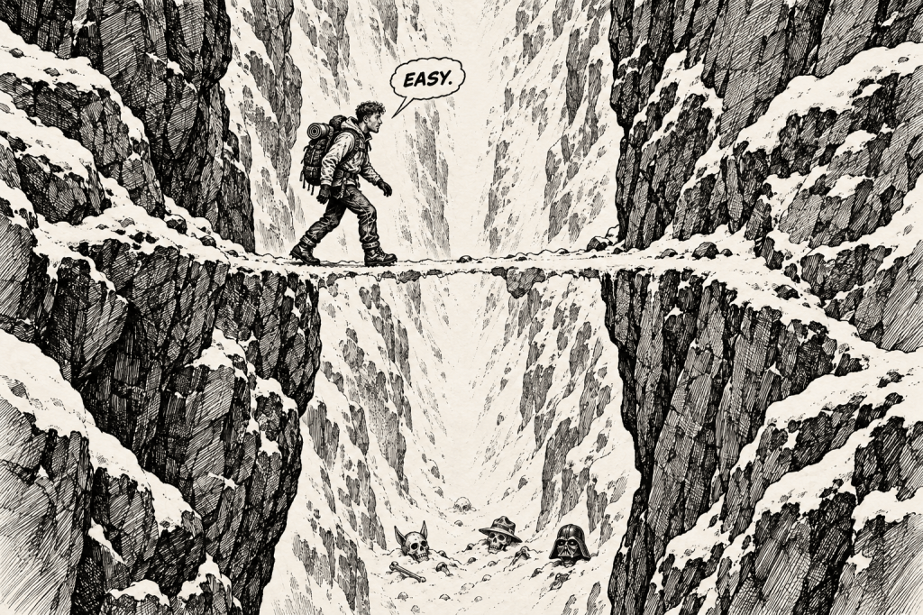
The Grand Couloir is known by several names, including the Goûter Couloir and, rather reassuringly, the Couloir of Death.
Its main threat is rockfall. Some of the rocks we saw were the size of basketballs. Others looked more like large televisions. Being hit by either could cause serious injury or death, so the difference was mostly decorative.
The actual crossing is only about 50 metres long. Technically, there is nothing particularly difficult about it. You wait, watch, listen and then cross quickly one person at a time, without stopping unnecessarily.
For those few seconds, however, every sound coming from above suddenly becomes extremely interesting.
So does the sound of your own heartbeat.
We watched the slope, waited for a quiet moment and crossed.
Nothing happened.
For a place called the Couloir of Death, it had been surprisingly polite.
INFO — WHY IS THE COULOIR SO DANGEROUS?
- On 15 July 2026, at approximately 2:30 a.m., a rockfall struck a three-person team. A Czech guide and his 42-year-old client were killed.
- Heat, drought and increasing rockfall led to the closure of Tête Rousse and Goûter on 11 August 2026.
- The refuges reopened on 26 August, although the danger had not completely disappeared.
- During heatwaves, the permafrost that acts as a natural binding agent inside the rock walls begins to thaw. The rock becomes less stable, and the frequency of rockfall can increase dramatically.
- Many teams cross at night or early in the morning, when lower temperatures may hold the terrain together more firmly. This offers no guarantee of safety. The fatal accident described above happened before sunrise.
- Always ask refuge staff about current conditions and the recommended crossing time. Conditions can change from one day to the next.
- Wear gloves throughout the rocky section. The steel cables are weathered, and small metal strands can protrude from them and cut or pierce bare hands.
Crossing the couloir was not the end of the dangerous section.
Beyond it, a long, steep and uncomfortable rocky climb led towards Goûter. Steel cables had been installed in many places to provide additional support, although this was not a traditional via ferrata.
Very little actual climbing ability was required, but the route was not always obvious. We had to search for red dots painted on the rocks, and losing the trail was surprisingly easy.
As we climbed higher, the couloir disappeared below us.
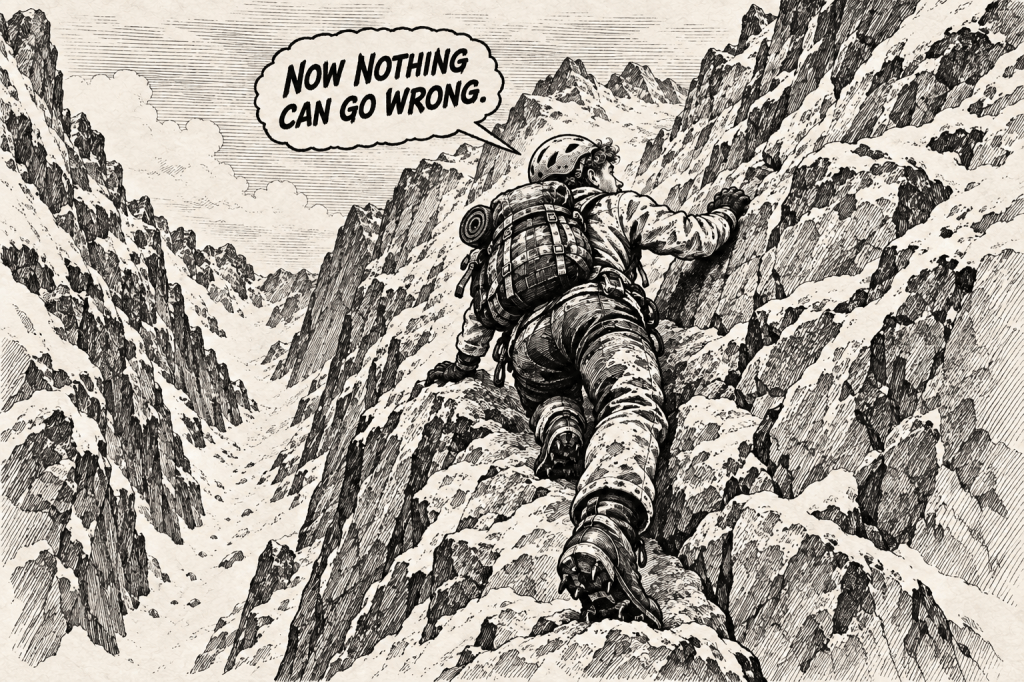
I remember thinking that the worst part was already behind us.
What else could possibly happen now?
Rocks do not always fall on their own.
Sometimes, somebody above decides to help them.
A German group was climbing higher up the route with a guide when one of them dislodged a rock. It came bouncing down the slope directly towards my face.
Several people shouted at once:
“ROCKS!”
I looked up just in time to see it coming.
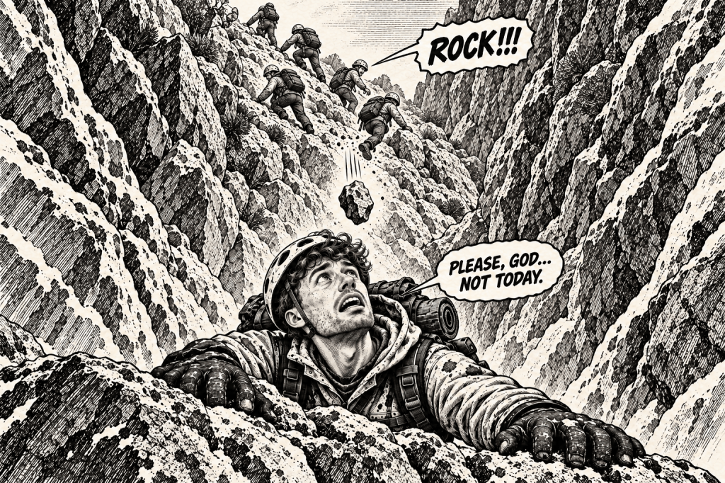
I pressed myself against the rock and tucked my head down.
The stone flew past, lightly grazing my backpack.
Fortunately, it missed my head, and nobody was hurt.
The Couloir of Death, apparently, was not limited to the actual couloir.
From that moment on, we remained alert throughout the entire rocky climb.
The higher we went, the closer the Goûter refuge appeared. That was one of the most frustrating parts of the ascent: from below, everything looked as though it should be only a few minutes away.
It never was.
The journey from Tête Rousse to Goûter took us approximately three hours. Once we had completed the rocky section, we reached a small platform built specifically for climbers to put on their crampons.
The contrast was almost surreal. Just a metre below us, there was nothing but bare rock. There was not a single patch of snow. A few metres above, there was nothing but snow and glacier.
We put on our crampons and continued. Only five to ten minutes of easier, protected terrain separated us from the refuge.
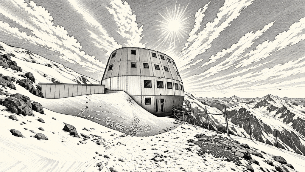
At around 9:30 a.m., we finally reached Goûter.
The most dangerous part of the route was behind us.
Or at least, that was what we thought.
5. The Missing Glasses and the Plan That Fell Apart
After we reached Goûter, we stored our equipment, checked in, asked about the conditions and began preparing for the summit.
Everything was going according to plan.
Almost.
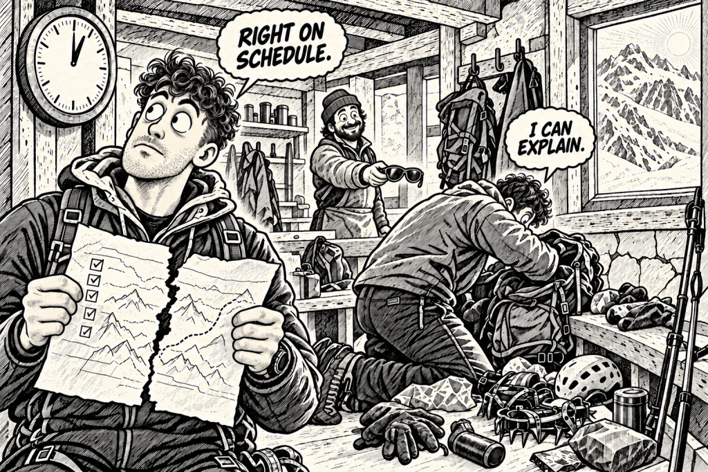
Krystian, my best friend and companion on this and many other adventures, had lost his glacier glasses.
He checked his backpack.
Then he checked it again.
The glasses were gone.
He had no spare pair, and walking across a glacier without proper eye protection can lead to snow blindness. After more than a year of planning, our summit attempt was suddenly at risk, not because of the weather, an injury or a lack of strength, but because of one missing pair of glasses…
I do not believe they were stolen. Throughout our stay, I kept a bag containing all my equipment in the hall, and nothing disappeared.
Still, you never know.
We spent the next two hours searching.
Nothing.
Thanks to the brilliant refuge staff, we eventually managed to borrow another pair. By the time we found them, reorganised our equipment and prepared to leave, however, it was already around 1 p.m.
We stepped onto the glacier and started walking.
Thirty minutes later, the snow had already softened considerably. It was late, nobody else was around, and I was seriously pissed off.
Every step made the situation feel more stupid.
Eventually, we stopped.
Continuing towards the summit would take approximately five hours. Returning to Goûter would take another three. We would arrive back at around 9 p.m. or later, with the conditions likely becoming worse.
There was only one sensible decision.
We turned back.
After thirty minutes of climbing, we walked back into the refuge and sat in the main room looking completely defeated.
For a moment, it felt as though everything had collapsed.
Then we checked the forecast for the following day.
It was even worse.
Strong wind, precipitation, fog and sleet were expected. Above 4,000 metres, the gusts could reach approximately 90 km/h.
Apparently, the missing glasses had only been the opening act.
INFO — WHO DECIDES WHEN TO LEAVE?
- Breakfast at Goûter is usually served at approximately 2:30 a.m.
- Most teams normally begin their summit attempt at around 3 a.m.
- Every day at 6 p.m., the guides meet for a briefing to review the latest forecast and assess the conditions together.
- After that evening’s meeting, they postponed the following morning’s departure until 6 a.m., hoping the weather would improve.
- This does not mean that you have to leave at the recommended time. Independent teams can choose when to set off, but experienced professionals discuss and recommend these hours for a reason. Conditions and official guidance should always be checked before departure.
With our summit attempt cancelled for the day, there was nothing left to do but wait.
Fortunately, Goûter offered several ways to pass the time. The refuge had board games, darts, chess and a climbing hangboard.
That last one led to a pull-up competition with a Lithuanian guide named Vilius. A special shout-out to him.
The rules were simple. We took turns increasing each set by two repetitions: two for me, two for him, four for me, four for him…
I failed at eight.
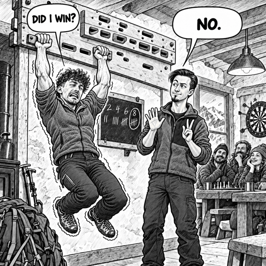
One day, I will get my revenge.
There was also a room where guests could prepare their own food, useful if you wanted to avoid paying refuge prices for Goûter’s admittedly delicious meals.
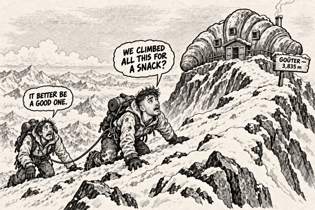
And since we are already talking about food, did you know that goûter means an afternoon snack in French?
We spend our entire lives climbing towards snacks, just usually not at nearly 4,000 metres.
INFO — FOOD AT ALTITUDE
- At altitude, some people lose their appetite or even feel sick at the thought of eating.
- Carry food that is light, compact and easy to eat, but make sure it is something you genuinely enjoy.
- Energy gels and perfectly calculated “mountain food” are useless if the thought of swallowing them makes you want to vomit.
- You obviously cannot carry your entire kitchen, but a favourite chocolate bar, snack or other familiar food can make a huge difference.
- The best food is not always the option that looks perfect on paper. It is the food you can actually force yourself to eat when your body no longer wants anything.
We played games, talked to people and tried not to think too much about the weather building outside.
At 6 p.m., the guides finished their briefing.
The original 3 a.m. departure was cancelled.
The new plan was to wait until 6 a.m. and hope the mountain changed its mind.
All we could do was prepare our equipment, try to sleep and wait for morning.
6. Monday: The Mountain Says No
At 6 a.m., we stood in the main room fully dressed, packed and ready to leave.
Almost nobody else was there.
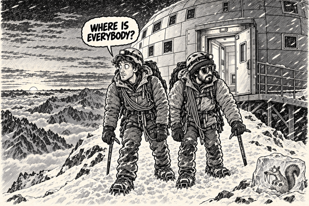
One team had already begun descending after deciding that a summit attempt would be impossible. Most of the guides were still resting, and the weather outside showed no signs of improvement.
The next possible departure was postponed until 11 a.m.
So we waited.
At 11, we looked outside again.
Nothing had changed.
Most teams abandoned their summit attempts completely. Only two groups set off that day, and one of them turned around almost immediately.
The mountain had made its decision.
Now we had to make ours.
We had two options.
The first was to descend. However, it was already getting late, the couloir was partly covered with snow, and rockfall generally becomes more frequent as temperatures rise later in the day.
The second option was to remain at Goûter for another night and try again the following morning. If that attempt also failed, we would return to the railway without further discussion.
I had not spent an entire year preparing for this expedition only to surrender at the first or perhaps fifteenth serious complication.
The more obstacles appeared, the more determined I became.
We stayed.
That decision gave us another full day inside Goûter.
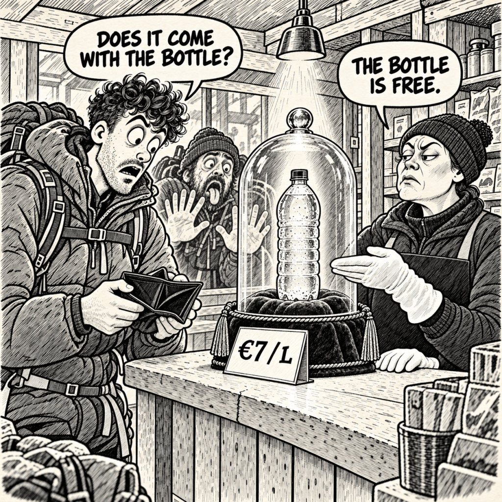
Unlike Tête Rousse, the refuge was surprisingly warm. It still had no running water or Wi-Fi, while a litre of bottled water cost €7. A weak mobile signal occasionally appeared beside a window or outside the building, although finding it required almost as much patience as climbing the mountain itself.
INFO — PHONES, CHARGING AND AIRTAGS
- I do not remember seeing ordinary electrical sockets available to guests. However, dedicated charging stations were provided in the main common areas, and climbers left their phones there to charge.
- I carried a power bank, but it proved unnecessary because the charging stations had plenty of available spaces. You only needed to bring a suitable USB charging cable.
- Putting an AirTag inside your backpack can give your family an additional way to follow your progress and worry slightly less.
- During our expedition, the AirTag updated its position considerably more often than the Find My location on our phones. On some days, the location of a phone remained unchanged for almost twenty hours.
- However, an AirTag does not have its own GPS or internet connection. It depends on nearby Apple devices to detect it and transmit its location. Updates are therefore never guaranteed.
- An AirTag is not an emergency beacon. If you require reliable communication or emergency tracking in remote areas, consider carrying a proper satellite communicator.
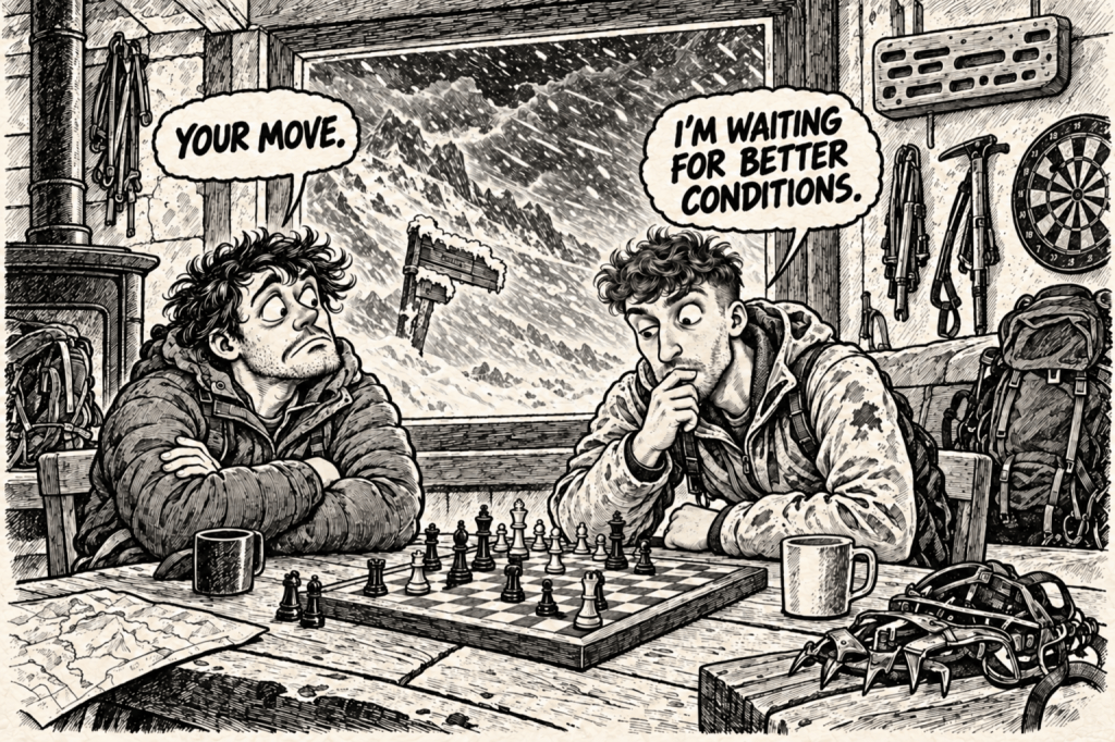
With nowhere to go and nothing to climb, we returned to chess, darts and conversations.
We met people from France, Russia, Croatia, Britain, Lithuania and Poland. There seemed to be Poles everywhere. In fact, we may have been the largest national group across all three refuges.
By the end of the day, I realised that I probably knew almost everyone staying in Goûter.
Apparently, trapping a group of strangers together at nearly 4,000 metres is an excellent social experiment.
Everyone had a story.
Everyone had a different reason for wanting to reach the summit, and the mountain meant something different to each of them.
The story that stayed with me most belonged to Philippe, a 68-year-old Frenchman whose dream was to climb Mont Blanc and write a book about his adventures and life experiences.
He was an extremely knowledgeable and intelligent man, but more importantly, he was simply a good person to talk to and listen to. Conversations with people like Philippe are one of the reasons I enjoy these expeditions so much.
Philippe did not reach the summit this time, but he is already thinking about another attempt when he turns seventy.
I genuinely believe he will make it.
And when he does, I hope I will be able to tell you the rest of his story.
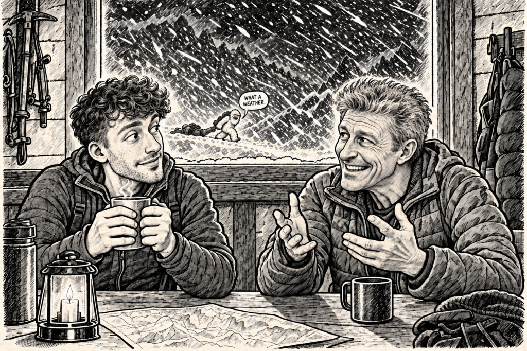
As the hours passed, the atmosphere inside the refuge became strangely familiar. We played, talked, exchanged stories and watched the weather through the windows.
For a while, waiting almost became enjoyable.
Then, towards the evening, our bodies decided to introduce another complication.
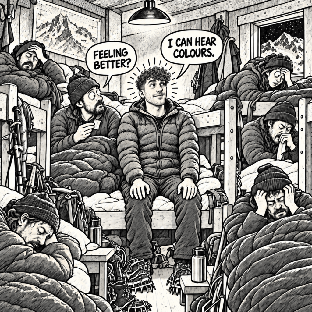
Despite our earlier acclimatisation, both of us developed mild symptoms consistent with altitude sickness. Krystian was also becoming increasingly unwell with what appeared to be flu.
A roommate gave me a tablet.
To be clear, taking unidentified medication from somebody you have just met at nearly 4,000 metres is not medical advice, and I am definitely not recommending it.
But that is what I did.
My symptoms eased, I managed to fall asleep, and my mood became suspiciously cheerful.
Perhaps the tablet worked.
Perhaps it was the placebo effect.
Or perhaps it was simply the thought that, after all the waiting, we might finally leave during the night.
INFO — HEALTH AT ALTITUDE
- Headache, nausea, loss of appetite, dizziness, unusual fatigue and disturbed sleep can be symptoms of acute mountain sickness.
- If symptoms appear, do not continue ascending to sleep at a higher altitude.
- If symptoms become worse or severe, descending is the safest response.
- Never leave somebody experiencing altitude illness alone.
- Report concerning symptoms to refuge staff. They have basic medical supplies and can contact a doctor or coordinate further assistance.
- Medication may reduce the symptoms, but it cannot replace proper acclimatisation. If descending becomes necessary, taking a tablet is not a reason to continue climbing.
- A helicopter may not always be able to reach you. Weather, visibility and wind can make evacuation impossible.
- The mountain is not going anywhere. Turning around is always better than requiring a rescue or never coming home.
That evening, a new forecast finally arrived.
Clear skies.
No precipitation.
Wind gusts of up to approximately 50 km/h.
After everything we had seen, it sounded almost too good.
The plan was simple: wake up at 2 a.m. and leave at 3 a.m.
We packed our equipment, checked everything twice and prepared for bed.
Then came the final challenge of the day:
trying to sleep while knowing that, in only a few hours, we might finally begin our summit attempt.
Does anyone here know how difficult it is to fall asleep when you are that excited?
7. The Summit Push
The alarm went off at 2 a.m.
We got dressed, checked our equipment and waited until 2:30, when the kitchen opened for breakfast. We ate quickly, made our final preparations and, by 3 a.m., stood outside Goûter fully equipped and roped together.
A moment later, we were walking through complete darkness. The only light came from the narrow beams of our head torches and those of the other climbers moving through the night around us.
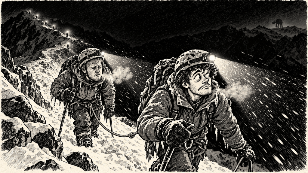
The summit attempt had finally begun.
For the next several hours, we climbed through the darkness. I do not know what the actual temperature was, but by approximately 6 a.m., five teams had gathered inside the Vallot shelter and every one of us was shaking.
I was wearing four layers of clothing, three pairs of socks and several pairs of gloves. Even so, for the first time in my life, I genuinely could not stop trembling.
The wind showed no mercy.
The forecast had mentioned gusts of up to 50 km/h, but either somebody had confused the numbers or Mont Blanc had not read the forecast.
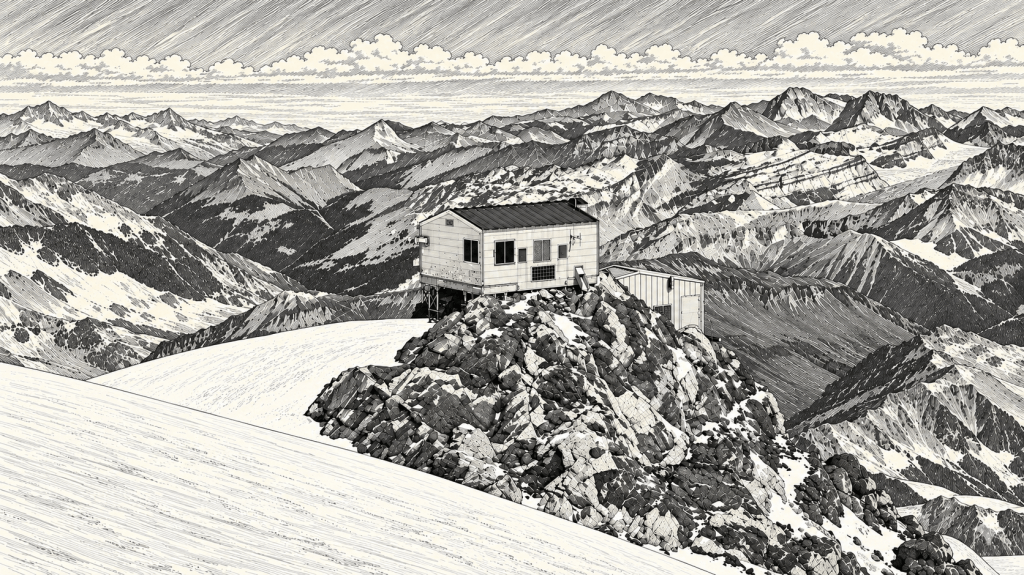
Vallot – The Metal Tin That Can Save Your Life
We had hoped to watch the sunrise from somewhere on the mountain.
Instead, we spent it inside a metal box.
The Vallot emergency shelter stands at 4,362 metres above sea level. It has no staff and practically no comforts. It does not become warm inside. The wind simply stops trying to tear through your clothing.
At that altitude, this feels luxurious.
Several blankets were available, so we wrapped ourselves in them and sat beside the other teams, still shaking.
Vallot is intended as an emergency shelter, but it also provides a place to rest briefly and answer one very important question:
Do we continue or turn back?
We remained inside for approximately thirty minutes. Sitting still made us even colder, so I personally would not stay there longer than necessary unless the conditions made continuing impossible.
Eventually, we stood up, adjusted our equipment and stepped back outside.
Naturally, we continued.
INFO — WATCH, GPX AND ALTIMETER
- A watch with a properly calibrated altimeter and a loaded GPX track can help you confirm your position.
- Neither should ever replace observing the terrain and making your own decisions.
- Glacier routes change depending on current conditions. Blindly following a line on a screen can lead directly towards a crevasse or onto unsafe terrain.
- Because the altitude of Vallot is known (4,362 metres), the shelter can be a useful place to check or recalibrate your altimeter.
The route from Goûter to Vallot involved a long climb followed, rather cruelly, by a descent.
Beyond the shelter came a seemingly endless sequence of climbs, dips and false summits. Every ridge looked as though it had to be the final one.
Every time we reached the top, another appeared behind it.
Mont Blanc clearly had a sense of humour.
Unfortunately, by that point, neither of us did haha
8. The Final Climb. For Real This Time
At approximately 9 a.m., I looked ahead and saw what appeared to be the final climb.
My eyes filled with tears partly because of the freezing wind, but mostly because I thought we had finally made it.
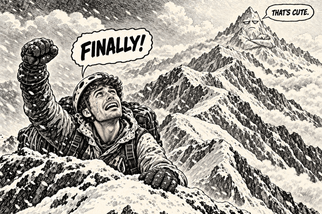
Naturally, the mountain still had one more false summit waiting for us.
We crossed it and continued.
Then, roughly ten minutes later, I stepped beyond one final rise.
There was nothing higher behind it.
Three Polish climbers stood ahead of us holding a red-and-white flag. Beyond them stretched the broad, flat summit of Mont Blanc.
After hours of narrow ridges and constant climbing, there was suddenly plenty of space. Without the brutal wind and cold, you could almost have organised a picnic up there.
The sky was completely clear.
We could see the surrounding mountains, the Aiguille du Midi and Chamonix far below. For the first time, I truly understood why people describe Mont Blanc as the roof of Europe.
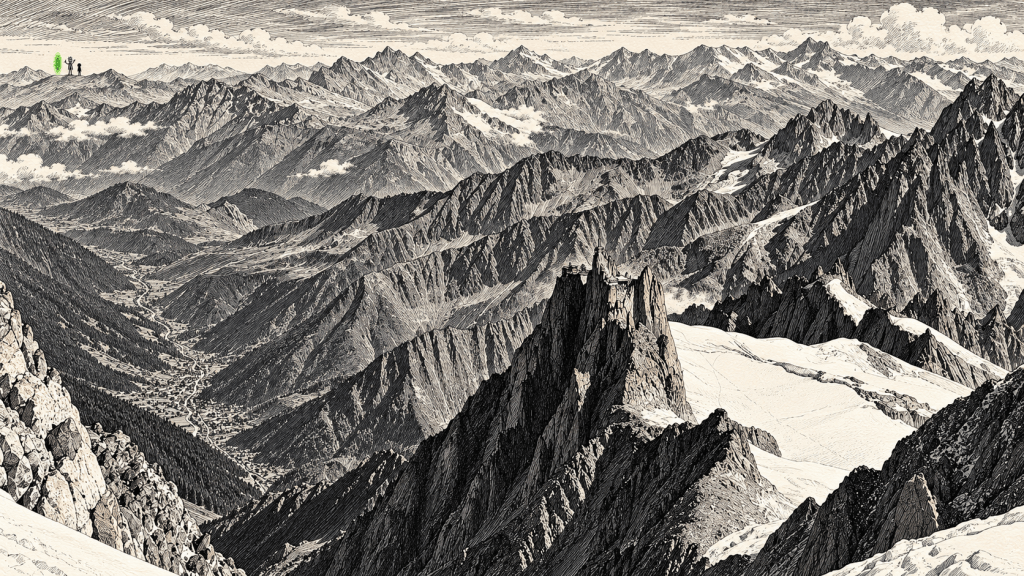
Everywhere we looked, the world fell away beneath us.
There was nowhere higher left to climb.
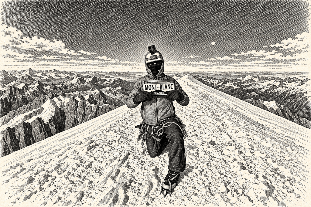
At 9:10 a.m. on 1 September 2026, after more than a year of preparation, several days of waiting and what felt like an endless collection of complications, we reached the summit of Mont Blanc.
We had done it.
Naturally, there was still one important piece of business to take care of.
I did push-ups on the summit.
Doing push-ups on important summits has been my tradition since climbing Rysy in 2022, the first mountain summit of my life. I intend to continue this tradition for as long as I live.
Some people collect summit photographs.
I collect increasingly uncomfortable places to exercise…
…and the photos to prove it haha
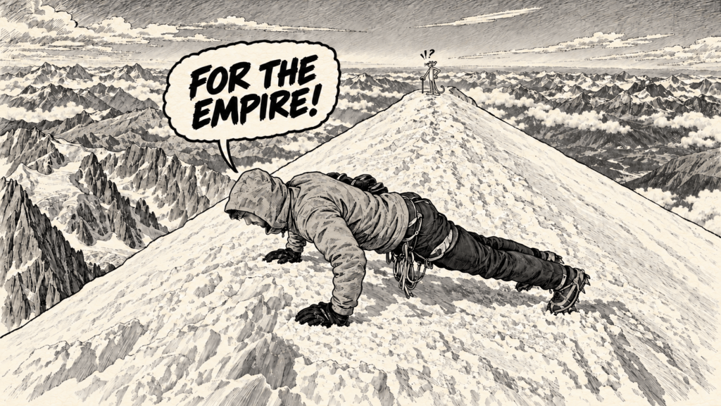
We took photographs, recorded a few short clips and spent several minutes simply looking at the view.
There was no dramatic celebration.
It was far too cold for that.
The wind was piercing, time was passing, and reaching the summit was only half the journey. We still had to get back down and we wanted to descend as far as possible before the end of the day.
So, after only a few minutes on the roof of Europe, we turned around and began walking back towards Goûter.
9. The Summit Is Only Halfway
Reaching the summit is only half the adventure.
The descent can be even harder and sometimes more dangerous, especially when exhaustion begins to destroy your concentration.
We needed complete focus on the steeper sections. The tracks we had followed during the night had almost completely disappeared. No fresh snow had fallen, but the powerful wind had covered them.
We navigated partly from memory and partly by reading the terrain, using the map on my watch only as additional support.
Eventually, we reached Vallot again.
After a short break and an energy bar, we continued towards Goûter. Once there, we collected the equipment we had left behind, said goodbye to our new friends and the refuge staff, and began the descent towards the couloir.
By the time we were preparing to leave, we had developed a genuinely friendly relationship with some of the refuge staff.
During our stay, they had occasionally offered us small things, and while saying goodbye, they even wanted to offer us a beer. I do not believe this was part of the standard accommodation package. It was probably the result of the relationships we had formed while being trapped there together for several days.
I do not drink alcohol, so I declined the beer. Still, I appreciated the gesture enormously.
One day, I would gladly sit down with them again and listen to the stories they must have collected after years of working at nearly 4,000 metres.
They were remarkable people, and I send my warmest greetings to all of them.
By then, it was already around 3 p.m.
Not exactly the ideal time.
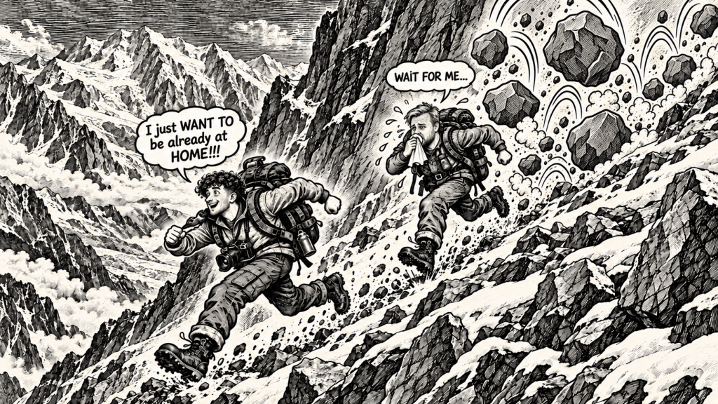
The couloir was partly covered with snow, and Krystian was feeling increasingly ill. Despite my suspiciously good mood, all I could think about was taking a shower and eating something resembling a normal meal.
Five days without washing, a proper meal or water costing less than €7 per litre had begun to take their toll.
Descending the rocky section in crampons was fucking awful.
Without them, however, the snow-covered rocks were so slippery that one forward fall could quickly turn into a spectacular series of cartwheels down the mountain with considerably less spectacular consequences.
During the ascent, apart from the rock that had nearly smashed into my head, we had seen relatively little rockfall.
During the descent, stones seemed to fall almost constantly.
Every crash echoing through the couloir made the situation feel a little less funny.
When we finally reached the actual crossing, a heavy volley of rocks came down directly ahead of us.
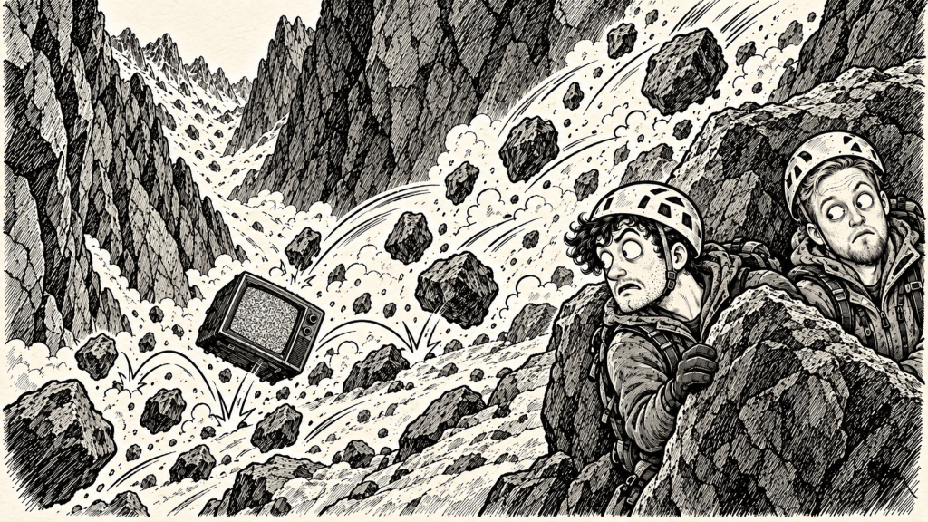
We stopped.
Waited.
Listened for another.
When everything became quiet, we crossed quickly, one person at a time and without stopping.
Only once we reached the other side did we allow ourselves to breathe normally again.
10. The Last Train Had Already Left
We reached the area around Tête Rousse at approximately 5 p.m.
By then, we already knew that we had missed the final tram from Nid d’Aigle. It had departed at 4:13 p.m.
There was nothing we could do about it now.
After a short rest, we continued descending. The staff at Nid d’Aigle were expecting us, having been warned by Goûter that we would probably arrive late.
We finally appeared at approximately 8:30 p.m.
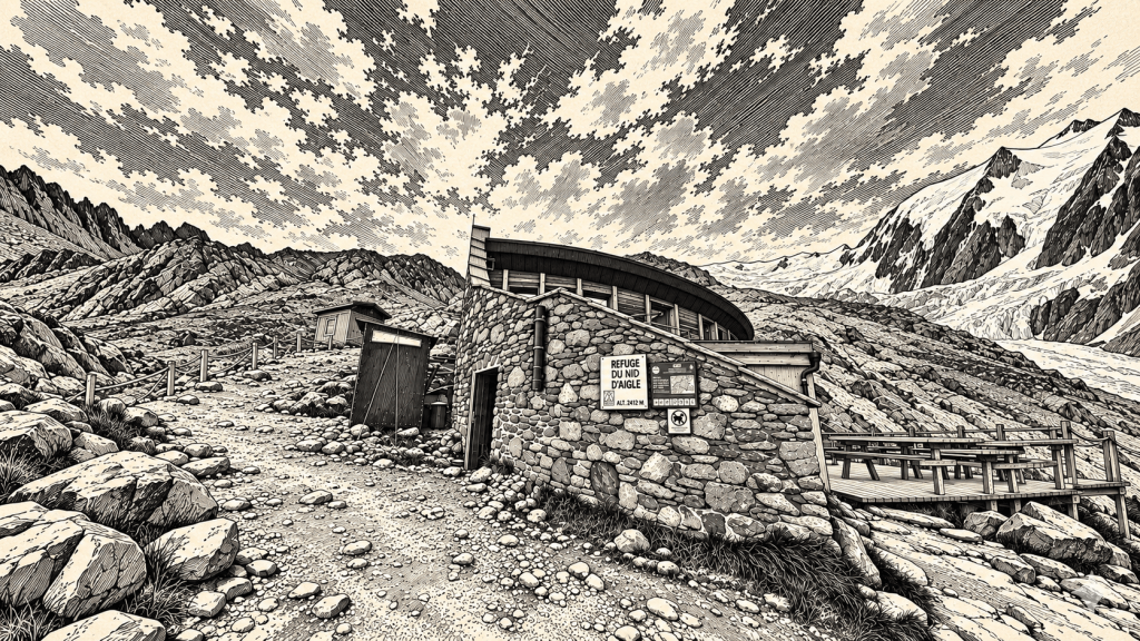
Nid d’Aigle was the cheapest of the three refuges and the only one with reliable internet and running water. A night there cost €30.
Ibex wandered around the building while a beautiful sunset spread across the mountains.
For a moment, I still wanted to continue all the way down to the car.
Another four or five hours of walking remained.
After approximately eighteen hours of almost continuous movement, Krystian, who was also suffering from flu, looked at the idea rather differently.
He said no.
Still don’t know why 😁
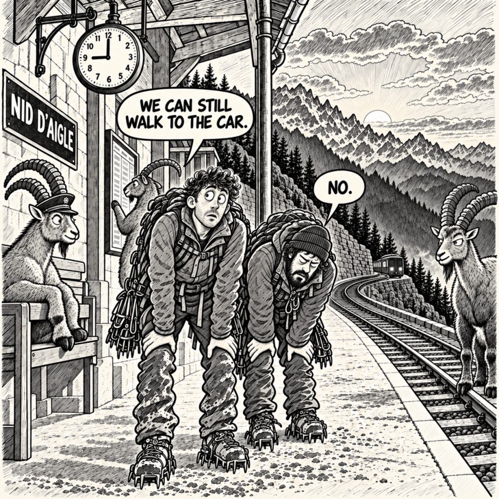
He was right. We needed to rest.
We stayed at Nid d’Aigle overnight and caught the first tram down to the car the following morning.
And that was how our Mont Blanc adventure ended.
Well, not really.
It was only the first chapter.
I know one thing for certain:
This was not my last time on that mountain!
The People Behind the Summit
Although only two of us stood together on the summit, we did not get there entirely on our own.
First, I want to thank Piotr Picheta, who prepared us for high-altitude expeditions during his courses. His knowledge, stories and wonderfully crazy passion for the mountains inspired us and gave us the foundations we needed to begin pursuing objectives like Mont Blanc.
I want to thank my friend Krystian for joining me on this expedition and continuing despite lost glasses, illness, terrible weather and every other complication the mountain placed in our way.
Adventures like this would not be the same without somebody beside you who is equally willing to make questionable decisions.
I also want to thank my mother for somehow avoiding a heart attack when I told her what we were planning. I know this expedition caused her a considerable amount of stress, even if she handled it far better than I had expected.
Thank you to everyone who followed our journey and sent messages of encouragement. Knowing that people were watching, supporting us and waiting to hear what happened meant more than you might realise.
Finally, I want to thank myself.
Despite every obstacle, my natural stubbornness and lifelong ability to repeatedly smash my head against the same wall once again produced something useful.
This time, it carried me to the summit I had dreamed about for more than a year.
The First of Nine
I have not mentioned this anywhere in the article, or anywhere else, but Mont Blanc was also the beginning of a much larger personal project.
In fact, I had been thinking about this idea long before I climbed my first mountain.
The traditional Seven Summits challenge has several versions, mainly because of the debate between Mount Kosciuszko and Puncak Jaya. Mont Blanc is also sometimes used instead of Elbrus under a different geographical definition of Europe.
I decided to avoid the argument by making the project more difficult and climbing all of them.
Mont Blanc, Elbrus, Kilimanjaro, Aconcagua, Denali, Vinson, Everest, Mount Kosciuszko and Puncak Jaya.
My own Nine Summits project.
The first summit is behind me. Eight remain.
If life, money, weather and my continued talent for surviving questionable ideas cooperate, I would like to complete the project before turning thirty.
There are still many other adventures planned along the way.
So, what comes next?
You will find out soon.
Watch the Full Adventure
If you have made it all the way to the end of this article, thank you.
I would also like to invite you to my still very young YouTube channel. A full film from our Mont Blanc expedition will appear there soon, including the recordings, photographs and emotions that could not be fully captured in writing.
The article tells the story and provides the practical information.
The film will show you what the expedition actually looked and sounded like when everything started going wrong.
See you there.
IMPORTANT — SAFETY AND RESPONSIBILITY
This article is a personal account of our experience on Mont Blanc. It is provided for general information and entertainment only. It is not professional advice, a climbing guide or a substitute for appropriate training, experience and individual assessment.
Mountaineering and high-altitude hiking are inherently dangerous activities that may result in serious injury or death. Weather, snow, glaciers, rockfall, routes, regulations and access conditions can change rapidly. Information that was accurate during our expedition may be outdated or unsuitable for your circumstances.
Before attempting Mont Blanc or any similar expedition, consult qualified professionals, check current information from official sources, assess your experience and physical condition, and obtain appropriate training. Never rely solely on this article when making decisions in the mountains.
My friend and I had completed Level I and Level II winter high-mountain hiking courses in Poland’s Tatra Mountains before this expedition. We made our own decisions and knowingly accepted the associated risks. This does not mean that our choices will be appropriate or safe for anyone else.
You are solely responsible for your own decisions, preparation, equipment and safety. To the fullest extent permitted by law, the author accepts no responsibility for any injury, loss, damage or other consequences arising from the use of, or reliance on, the information contained in this article.


Leave a Reply